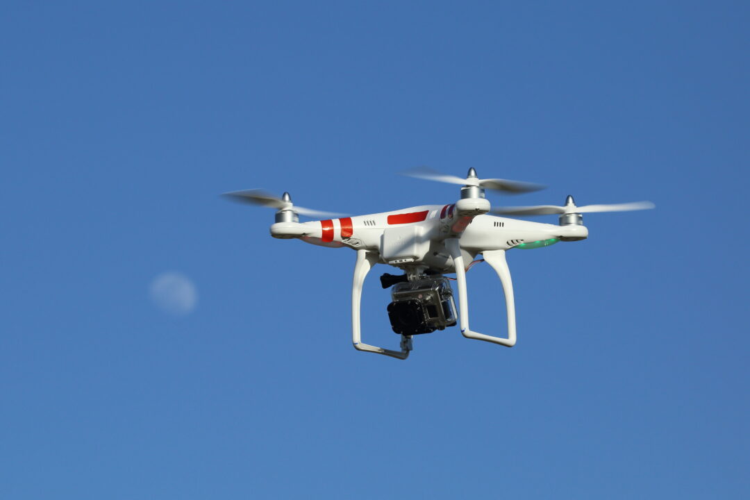
NEW DELHI: Officials from the Municipal Corporation of Delhi (MCD) on Tuesday, March 14, informed that the urban local body (ULB) has decided to use drones for surveying properties that fall in industrial areas for tax assessment.
With the help of drones, municipal officials could easily verify the details submitted by the property owners while paying taxes. For this purpose, MCD has called in for bids to conduct a drone-based survey and the last date to submit a bid is March 16.
This will be the first occasion when MCD has decided to use drones to survey industrial properties in the national capital territory of Delhi. The civic body has used drones last year though only as a pilot project. The official engaged in the pilot project informed PTI that last year survey of Mohan Cooperative Industrial Area on Mathura Road was conducted. Due to the success of this pilot project, MCD has decided to use drones to survey other industrial areas in New Delhi.
With the help of this drone survey, the civic body will verify the exact use of the property, its occupants, the area covered and the number of floors. Additionally, the drone survey could also be used for ascertaining if there is any construction on the roof or not. A total of 30,000 sites located in the Okhla Industrial Area will be surveyed in this exercise.
It has been said that number of properties could be increased or decreased after this survey. MCD officials added, “The company will first do a drone survey and then a door-to-door survey and then it will compare the data collected with our data. That’s how we will know whether the taxpayers are paying tax rightly.” MCD official said, “One of the major sources of revenue in any urban local body is property tax. To increase transparency, effectiveness and efficiency in the administration of property tax, the Municipal Corporation of Delhi (MCD) proposes to use information and communication technology,”
It is being said that the primary objective of the drone-based survey in Delhi is to create a comprehensive database of properties in addition to the door-to-door property tax assessment survey, property mapping and Geographic Information System (GIS) to improve revenue collection through the assessment of properties.