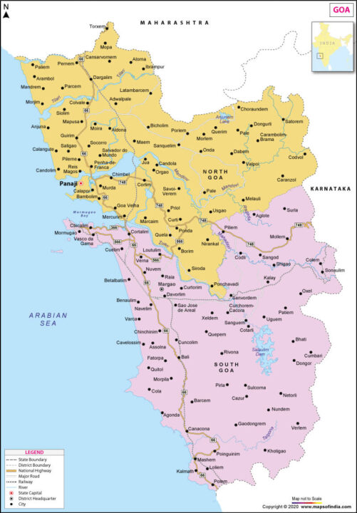
PONDA: Vishwajit Rane, Minister of Urban Development, Government of Goa has said that the state will be conducting geo-mapping of all urban houses, including boundaries of municipal wards. All the municipalities will now have databases available within five months.
Rane assured the people that this won’t lead to increase in taxes. This exercise is only being done for the purpose of documentation. He also said that GIS-based property tax assessment will also be introduced at some point. According to Rane, the Government of India has initiated a programme worth Rs 8000 crore for building a township akin to smart cities. A land near the Mopa airport site has been identified for this purpose. The Minister also said that after Panaji, Ponda is on priority. In a meeting of the Goa State Urban Development Agency, a master plan for Ponda town has already been approved.

