The proper disaster mapping of the regions and related risks can be helpful in long-term preparedness at the local level and executing relief and rescue operations with greater accuracy, thus saving lives and minimising the population’s suffering. Various factors such as intensity of disaster risks, exposure of the geographical area to the disasters, vulnerability matrix of population-based on potential socio-economic impact, etc., need to be considered for mapping disaster risks.
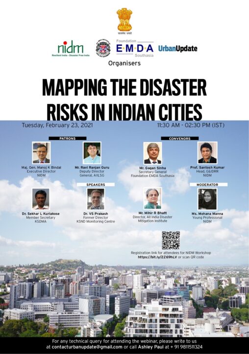
National Institute of Disaster Management (NIDM), in association with the All India Institute of Local Self-Government (AIILSG), Foundation EMDA Southasia and Urban Update, organised the third edition of training workshops on “Mapping the Disaster Risks in Indian Cities” on Wednesday, February 23, 2021.
The workshop was moderated by Mohanna Manna, Young Professional, NIDM. The panel of eminent speakers included Dr Sekhar L Kuriakose, Member Secretary of Kerala State Disaster Management Authority (KSDMA); Dr VS Prakash, Founder and Special Director, Karnataka State Natural Disaster Monitoring Centre (KSNDMC); and Mihir R Bhatt, Director, All India Disaster Mitigation Institute.
Manna began the workshop by stating the importance of mapping disaster risks. Prof Santosh, Head (G&IDRR), NIDM, inaugurated the workshop while addressing the participants and said that this workshop will address how local self-governments, which is a key body in terms of urban governance, can and should handle disasters. Prof Santosh Kumar went on to say that by 2050, India will be the world’s most populous and urbanised country. He said, “We must work towards addressing the challenges of the future instead of waiting for them to happen. Moreover, urban grids are getting more complex. Hence, we must pay attention to pre-disaster planning.” In order to do this, he suggested, we must engage risk mapping and assessment in order to reduce vulnerabilities and risks.
Abhishek Pandey, Editor, Urban Update, then briefly explained the importance of the series of workshops being organised by the three organisations and how they will help representatives of local government attending the conference in preparing better for disasters and making their cities and towns more disaster resilient. Pandey also elaborated on the rich history of AIILSH and how, since 1926, the organisation has been functioning to supplement the work of local government bodies across India.
Post his, Manna invited Mihir Bhatt as the first speaker of the workshop. Bhatt commenced the discussion by stating that he will be addressing mapping issues that are focused very much on local authorities. “Mapping disaster risk needs more direct focus on education,” Bhatt said. The next area that needs more attention is mapping and its management in tribal areas by the local authorities. Further, he said that mapping should not only be to capture and record data but also to transform the process of governance. He stressed the need for a digital transformation of the disaster mapping infrastructure in order to make it more accessible and inclusive.
Lastly, Bhatt stressed some urban mapping opportunities for local authorities and communities that can transform our lives ahead. First is that a system-wide analytical and holistic mapping needs to take place; second is that investment in high profile risk mapping areas and communities needs to take place; third is improving and enhancing risk mapping communication and information, and fourth is finding new forms of public interest and public-private partnership in mapping.
Continuing the discussion, Dr Prakash, in his session on ‘Techniques and Tools for Risk Mapping and Assessment’, shared his firsthand experience with risk mapping through various pictures. With the help of his presentation, he pointed out that risk mapping really only depends on data. He said that realising community participation in data collection is very essential. He also showed the tools and techniques which were personally used by him for various assessments. Dr Prakash said that even though disaster mapping technology is undergoing widespread changes, we continue to hold onto old equipment while following imperial methods set out by the British in India.
Dr Prakash highlighted that disaster risk management requires a combination of the following: adoption of science and knowledge, technology-led innovations in tools and products, improvements in technology, and translation of technology-led innovations into business and industries. Explaining the Climate Connection Hydrological Cycle around a Lake Tank, he said that science, administration and political system needs to work together to reduce disaster risks.
The last speaker of the workshop, Dr Sekhar L Kuriakose updated everyone on the work of local self-government in Kerala in terms of risk management planning. He said that in 2019, Kerala decided that its local self-government should have a disaster management plan of its own. He also shared a link including templates that had a clear guidance document, under each category it mentioned what has to be done and how. He said that they also conducted massive online/offline training programmes to capacitate the local self-governments by facilitating them with local resources to conduct these programmes. Dr Kuriakose stressed that in Kerala, local self-governments are very powerful and they control a majority of development processes, starting from planning to execution.
Lastly, he said that the focus should be on providing and capacitating the local self-governments with information so that they can make use of it for disaster risk planning. This was what KSDMA did in Kerala and they were successful because Kerala stands on three big pillars when it comes to disaster management viz, a strong mechanism and institutional framework of the local self-governments; a high level of education of the majority of masses; and a strong healthcare mechanism. “If people are healthy and educated, they are aware of the destruction a disaster can cause. As a result, the prevalent risks are greatly decreased,” said Dr Kuriakose while ending the session.
Conclusion
The workshop helped participants understand how risk mapping is done and what are the challenges and solutions to the problems faced by the authorities in disaster risk management and mapping. The speakers talked about a holistic understanding of risk mapping and the challenges that are faced in disaster risk mapping. Lastly, a successful story of Kerala’s local self-government structure was discussed.
The conclusion of the workshop, based on the discussions and presentations that took place during the different sessions, can be summarised in the following points:
- There is an urgent need of public- private partnership in this field
- There needs to be a strong link between science administration and the political system
- A disaster must first be monitored and only then should authorities move forward
- To attain risk mapping at the local level, we should focus on developing our LSGs, strengthening them, and then building their capacities
- The focus should also be on enhancing health and education infrastructure in the order it builds the capacity of the local self-government
- The data collected by mapping disaster-prone areas must be shared with the local self-governments so that they can be prepared and also point out any discrepancies based on what is experienced by the inhabitants of the area
The series of workshops organised by the organisations are aimed at helping urban local body officials in understanding the importance of advanced disaster planning, mapping and mitigation. Through the series, the organisations intend on spreading awareness among the general public too in order for them to be able to act in the event of a disaster.