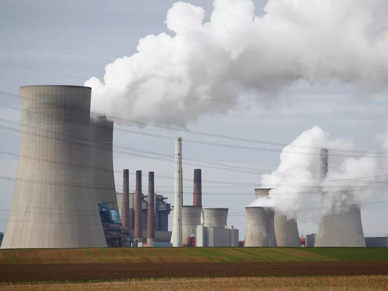
NEW YORK: A recent report by Vox details the development of satellite imagery to precisely track down the pollutants emitted by power plants across the globe, in real time. WattTime, a non-profit artificial intelligence firm, will put out the satellite imagery to efficiently monitor the pollution levels of major power plants and intends to make the data public.
According to the latest State of Global Air Report, air pollution is the fifth greatest global mortality risk and one of the major contributors to this type of pollution are the emissions from major power plants due to improper monitoring methods.
Between visible smoke, heat, and NO2, the firm will be able to derive exact information on real-time emissions, including information on carbon emissions, for every power plant in the world. These images will be processed by various algorithm to detect signs of emissions. The firm said it can also use infrared imaging to identify heat from smokestack plumes or cooling-water discharge. Sensors that can directly track NO2 emissions are in development, according to Gavin McCormick, Executive Director, WattTime.
With Google’s 1.7 million dollar backing, the project shows promise of quick development. The new global pollution tracking system would be instrumental in verifying the monitoring and verification between the authorities and the power plant, where suspicions of underreporting of emissions have always been prevalent and hence a better implementation of pollution laws across the globe will ensue.
