BENGALURU: R V Deshpande, Revenue Minister while addressing a press conference on February 28, said that the state government has entered into an agreement with Survey of India, Department of Science and Technology, to survey land records in the state.
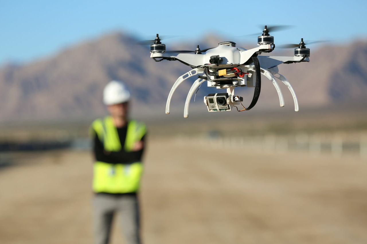
The Memorandum of Understanding (MoU) was signed between the Revenue Department and Survey of India after successful completion of pilot project conducted using drones/Unmanned Arial Vehicles (UAVs) to survey land at Jayanagar in Bengaluru and both rural and urban parts of Ramanagara town.
Girish Kumar, Director General, Survey of India, said, “Karnataka is the pioneer State to deploy drone and UAVs for survey work in the country.” The first phase would be completed in two years. “In the first phase, the drone/UAV survey will be done in five districts – Tumakuru, Hassan, Uttara Kannada, Belagavi, Ramanagar and Bengaluru city,” said a release. In the second phase, which will be completely digital, eight districts will be taken up – Dharwad, Davanagere, Dakshina Kannada, Gadag, Kalaburagi, Kodagu, Mysuru and Vijayapura.
Using the drone surveying technology the entire land and properties of Bengaluru city will be brought under 3-D mapping.